Login
LoginGovernment College Baran
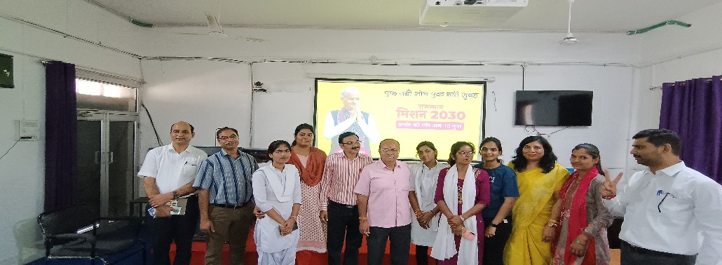
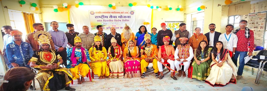
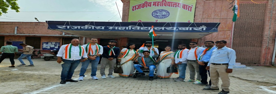
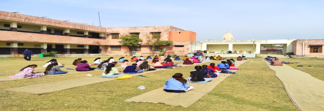
Government College Baran
.jpg)
.jpeg)
.jpg)
.jpg)
.jpg)
.jpg)
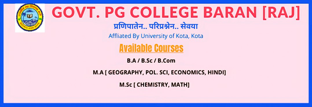
This college is a Government Post Graduate College, offering degree courses in all three streams – Arts, Commerce and Science; and Postgraduate courses in Geography, Pol. Sc., Economics and Chemistry subjects. The college was established in the year 1966, and owns both 12 (B) & 2 (f) status, with NAAC accreditation ‘C’. There are about 4800 regular students in this college. This place is well connected with the road (NH -26) with Kota in the north and Bhopal, Bina, Indore in the South.
History
Baran was a part of Kota district till 1991. On April 10, 1991, it was declared to be a separate district. The district got its name from the existing Baran city which is also presently the district headquarters. Baran district comes under JhalawarBaran parliamentary constituency and is further divided into four assembly constituencies – Anta, Baran-Atru, Kishanganj and Chhabra. Eight Tehsils fall under this district namely Anta, Baran, Atru, Chhabra, Mangrol, Kishanganj, Shahabad and Chhipabarod. It is spread across 6992 sq km area but only 82.18 sq km of it is urban. Rest of the district comes under the rural category
Location and Area

 The district extends from 24-25' to 25-25' North latitudes, 76-12' to 77-26' east longitudes and 265 mts. altitude. Located on the south-east corner of Rajasthan and being adjacent to Shoepur, Shivpuri and Guna Districts of Madhya Pradesh(M.P.), it forms the boundary of Rajasthan State. It is bounded on North-West by Kota and on South-West by Jhalawar District of Rajasthan State. The maximum length of the district from North to South is 103 Kms. and maximum width from west to east is 104 Kms. The land slopes gently northward from the high table land of Malwa in Madhya Pradesh. It is well watered, drained by rivers flowing in North and North-Eastern directions. There are hills in the South, North and Eastern portion of the district and it is generally fertile. There are hills in the east in Shahabad tehsil, having the highest point, named as Mamooni, which is 546 meters above mean sea level, in the district. These hills form part of Aravali Ranges. Their slopes are gently and steep and they are mostly covered by woods. The land of the district slopes gently from South to North and the drainage is through Chambal and its tributaries.
OFFICIAL WEB PAGE OF BARAN DISTRICT - CLICK HERE
The City has a dry climate except in the monsoon seasons. The winter season runs from mid of November to February and summer season runs from March to mid of June. The period from mid of June to September is the monsoon season followed by the months October to mid of November constitute the post monsoon or the retreating monsoon. The average rainfall in the district is 895.2mm. January is the coldest month with the average daily maximum temperature of 24.3'C and the average daily minimum temperature of 10.6'C.
| Religions in Baran District (2011) | ||||
|---|---|---|---|---|
| Religion | Percent | |||
| Hinduism |
| 92.69% | ||
| Islam |
| 6.54% | ||
| Other or not stated |
| 0.77% | ||
According to the 2011 census, Baran district had a population of 1,222,755. It roughly equals to the nation of Trinidad and Tobago or the US state of New Hampshire. This gives it a ranking of 389th in India (out of a total of 640). The district has a population density of 175 inhabitants per square kilometre (450/sq mi). Its population growth rate over the decade 2001-2011 was 19.8%. Baran has a sex ratio of 926 females for every 1000 males, and a literacy rate of 67.38%. 20.79% of the population lives in urban areas. Scheduled Castes and Scheduled Tribes make up 18.09% and 22.64% of the population respectively
Languages in Baran district (2011)
 Harauti (70.59%)
Hindi (25.37%)
Urdu (1.92%)
Others (2.12%)
At the time of the 2011 census, 70.59% of the population spoke Hadoti, 25.37% Hindi and 1.92% Urdu as their first language.