Login
LoginHARIDEV JOSHI RAJKIYA KANYA MAHAVIDHYALAYA BANSWARA
HARIDEV JOSHI RAJKIYA KANYA MAHAVIDHYALAYA BANSWARA


GEOGRAPHY
Banswara is located at 23°33′N 74°27′E / 23.55°N 74.45°E / 23.55; 74.45. It has an average elevation of 302 metres (990 ft).
Banswara District is in southern Rajasthan with an area of 5,037 square kilometres (1,945 sq mi) located between 23.11° N to 23.56° N latitudes and 73.58° E to 74.49° E. longitudes. It is bounded on the north by Dhariawad tehsil of Udaipur district and Pratapgarh district; on the east by Ratlam district of Madhya Pradesh; on the west by Sagwara and Aspur tehsils of Dungarpur district; and on the south by Jhabua district of Madhya Pradesh and the Panchmahal district of Gujrat on the southwest.
Banswara district forms eastern part of the region known as Vagad or Vagwar. The district was formerly a princely state ruled by the Maharavals. It is said that a Bhil ruler Bansia or Wasna, ruled over it and Banswara was named after his name. Bansia was defeated and killed by Jagmal Singh who became the first Maharaval of the princely state. It is named so because of the bamboo (Hindi: बांस) which were found in abundance in the forests.
DEMOGRAPHY
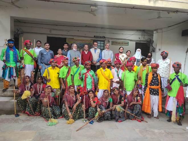
The district is predominantly inhabited by tribals mainly Bhils, Bhil Meenas, Damor, Charpotas, Ninamas, etc. The district population is 14,20,601 (2001). The rural population is 1,313,238 (2001) and the urban population is 107,363 (2001). The main occupation of the people, especially of tribals, is agriculture. The tribals live in a small one-room houses, known as "tapra", which lie scattered all over the area.
The other major castes are Patels, Rajputs, Brahmans, Mahajans, and Muslims. The dialect spoken in the district is Wagri, a mixture of Gujrati and Mewari.
ATTRACTIONS
Mahi dam